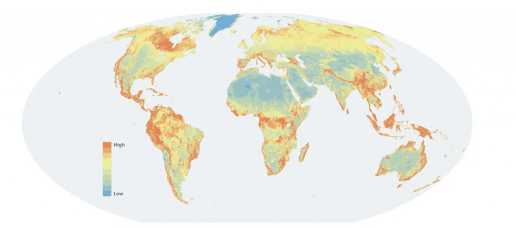
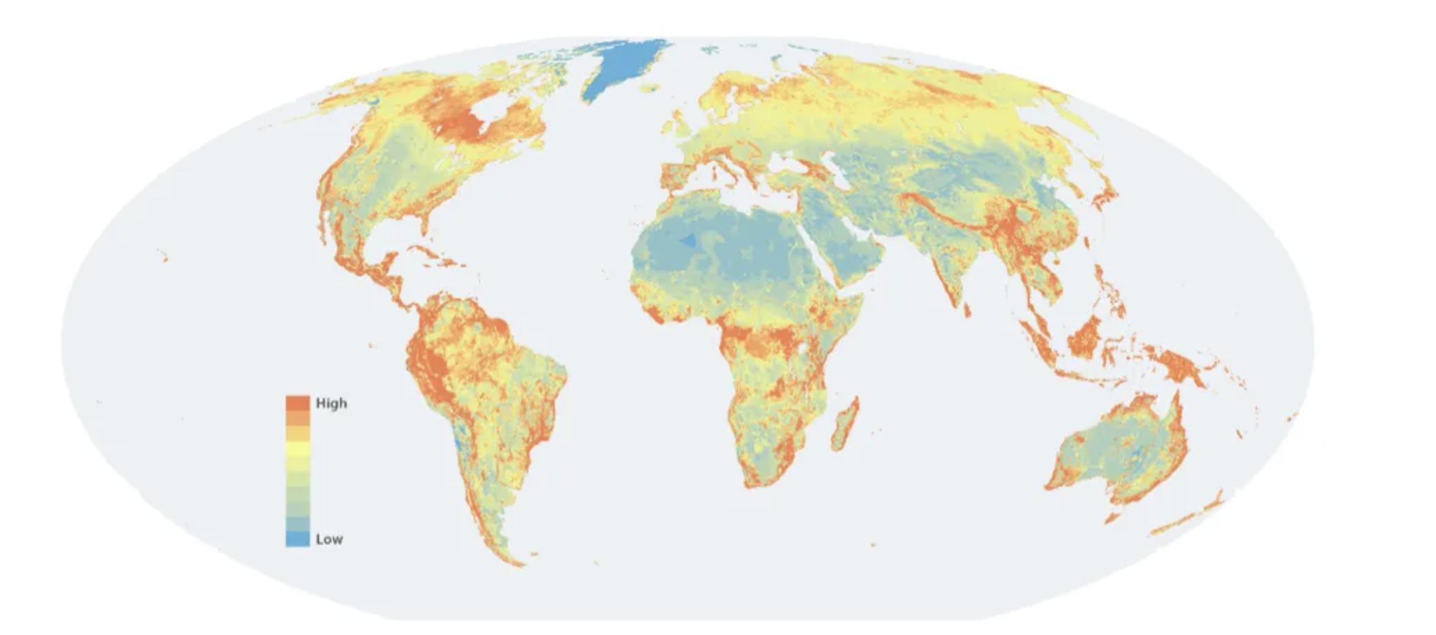
Countries need integrated maps of biodiversity and ecosystem services, including carbon storage, to design and implement national policies for halting and reversing the loss of biodiversity and for curbing net greenhouse gas emissions from land use. Yet, such maps are in short supply. To help fill the gap, Nature Map offers freely available global maps of terrestrial biodiversity, carbon stocks and water supply.
To find a solution to this necessity, Nature Map offers freely available global maps of terrestrial biodiversity, carbon stocks and water supply, designed to support governments in policy design. These maps are brought together to give an integrated view of the importance of different areas for all of these assets. Another map identifies areas where ecosystem restoration can enhance them. Such maps are needed to support (i) agreement on bold and operational biodiversity objectives; (ii) effective monitoring and verification, (iii) integrated strategies that tackle the drivers of biodiversity loss and climate change, including land-use change; (iv) the greening of supply chains for agricultural and forestry products; and (v) carbon markets for nature-based solutions. Thus, they can play a critical role in making next year’s COP 26 of the climate convention and COP15 CBD a success.
Nature Map is led by the International Institute for Applied Systems Analysis (IIASA), International Institute for Sustainability (IIS) Rio, UN Environment Programme World Conservation Monitoring Centre (UNEP-WCMC), and the UN Sustainable Development Solutions Network (SDSN). Royal Botanic Gardens Kew, and many other scientific partners support this initiative.
No Comments